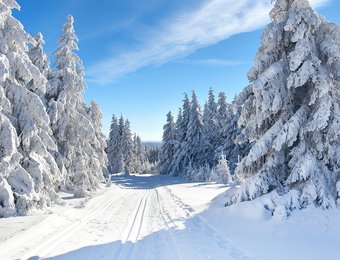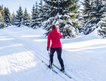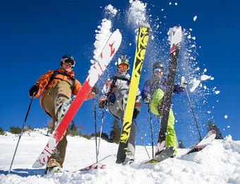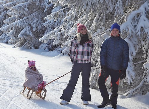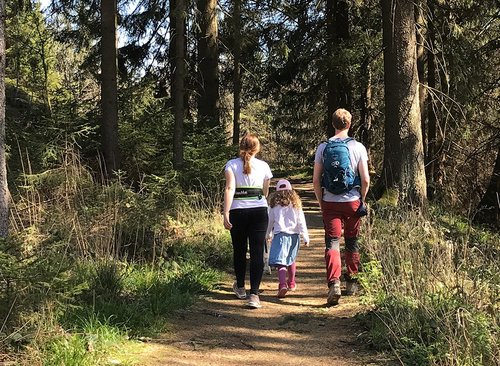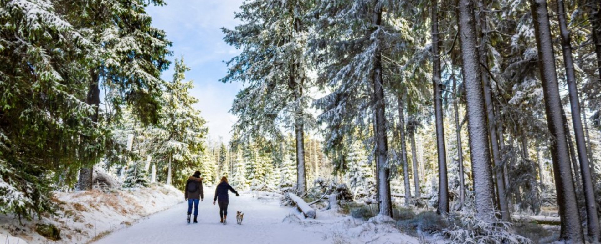
Winter hiking in the Harz Mountains
Winter in the Oberharz often lives up to its name. Glistening white snow envelops the landscape and trees, transforming nature into a romantic winter wonderland. In the villages in the Oberharz various hiking trails are cleared of snow during heavy snowfall so that you can enjoy wonderful winter hikes on these paths.
After fresh snowfall, the Oberharz villages endeavour to clear the winter hiking trails again at short notice, but in the event of exceptionally heavy snowfall or even a snow emergency, it may be necessary to temporarily restrict the number of hiking trails that can be cleared.
Winter hiking in Schulenberg
The following winter hiking trails are available in and around Schulenberg:
- Hiking trail along theOker damon the forest side with a total length of about 8 km. Altitude: 423 - 431 m above sea level.
- Kurübungsweg 1: Circular hiking trail aroundSchulenbergwith a total length of approx. 6 km, access is possible at various points. Altitude: 423 - 431 m.
- Spa exercise trail 2 north-east of Schulenberg (can be combined with spa exercise trail 1) Hiking trail from Mittelschulenberg through the Riesenbachtal valley to Festenburg with a total length of around 5 km.
Winter hiking in Wildemann
The following winter hiking trails are available in and around Wildemann:
- Hiking trail from the forest road past the former Spiegelthaler Zechenhaus toClausthal-Zellerfeldwith a total length of 3.73 km. Altitude: 411 - 520 m.
- Hiking trail from the Grumbach valley up to the turning point behind the lower Grumbach pond or further on to the Kuttelbach pond to Hahnenklee with a total length of 4.26 km. Altitude: 411 - 554 m.
- Hiking trail from the Sanickel road to the Willy-Müller-Weg to the former quarry and from there to Lautenthal or turning at an acute angle up the Sägemühlenweg to Hahnenklee with a total length of 7.42 km. Altitude: 333 - 500m
- Hiking trail from Clausthaler Straße into the Gitteldsche Tal valley back toWildemannwith a total length of 5.59 km. Altitude: 382 - 546 m.
Winter hiking in Altenau
The following winter hiking trails are available in and around Altenau:
- Hiking trail from the hut pond to the dam house with a total length of around 8 km. Altitude: 505 - 579 m.
- Circular trail from the Schultal valley via the Wellner Weg through the Kellwassertal valley with a total length of around 5 km. Altitude: 465 - 552 m.
- Hiking trail from Wellner Weg to Kellwassertal with a total length of approx. 9 km. Altitude: 423 - 431 m
- Circular trail from Stieglitzecke to Hans-Kühnenburg of approx. 16 km. Altitude: 744 - 828 m.
- Hike from the outer dam wall to the main dam wall (forest side only) with a total length of approx. 16 km, altitude 423 - 431 m.
Winter hiking in Torfhaus
The following winter hiking trails are available in and around Torfhaus:
- Hike on theGoetheweg to the Brockenwith a total length of about 8 km. Altitude: 835 - 901 m.
- Hiking trail from the cemetery of honour via the Dreieckigern Pfahl, the Kolonnenweg and the Goetheweg toTorfhauswith a total length of about 8 km. Altitude: 835 - 901 m.
- Hiking trail from the cemetery of honour via the Kaiserweg to Oderbrück with a total length of approx. 4 km. Altitude: 800 - 850 m.
Winter hiking in Clausthal-Zellerfeld
The following winter hiking trails are available in and around Clausthal-Zellerfeld:
- Hiking trail from the "Erbprinzentanne" to the centre of Zellerfeld with a total length of about 2 km. Altitude: 550 - 600 m.
- Winter hiking trail "Ringerhalder Zechenhaus - Robinson playground" with a total length of around 3.5 km. From the Bornhardstraße Mining Museum along the Carler pond, past the Ringerhalder Zechenhaus via the Robinson playground to Spiegelthaler Straße. Altitude: 500 - 550 m.