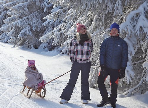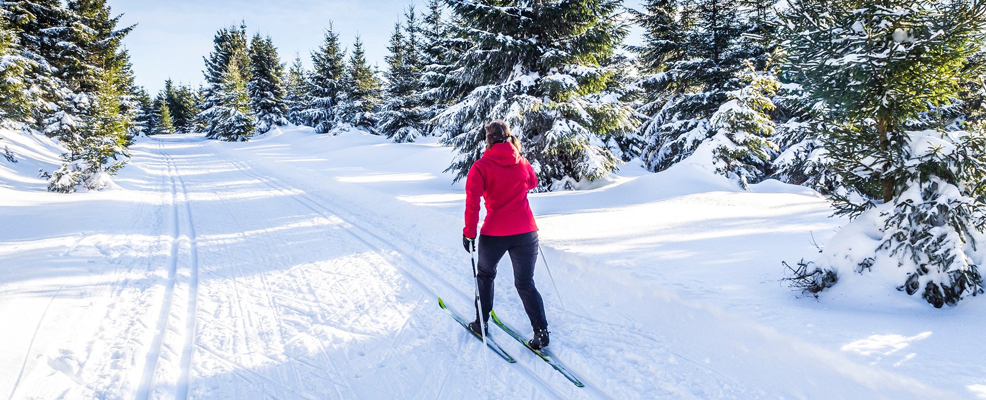
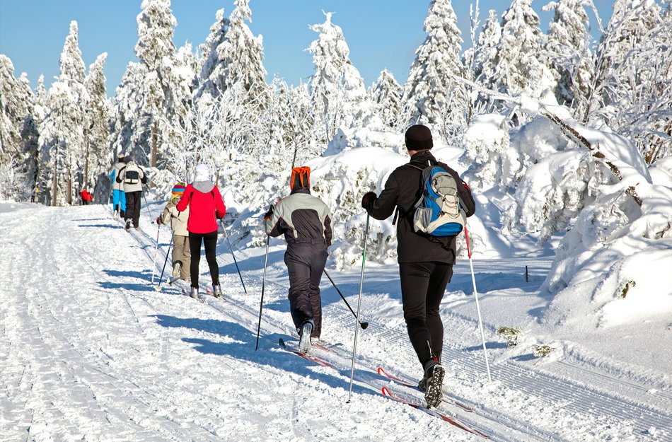
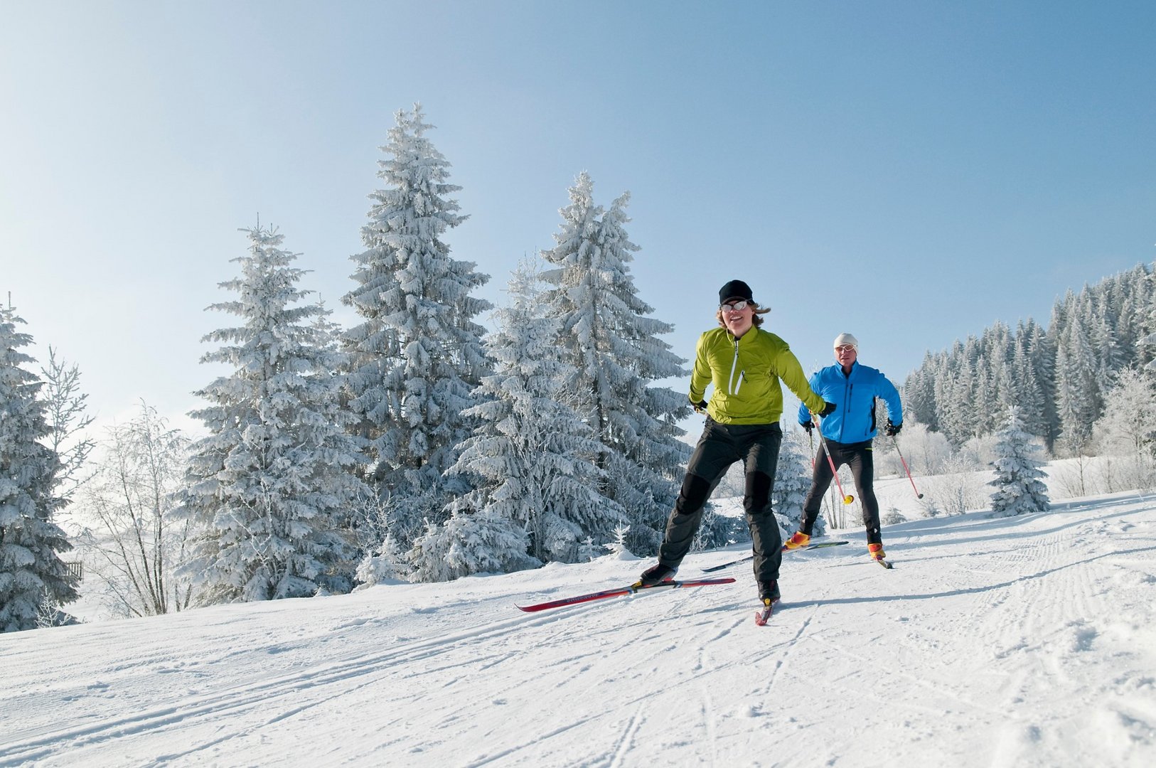
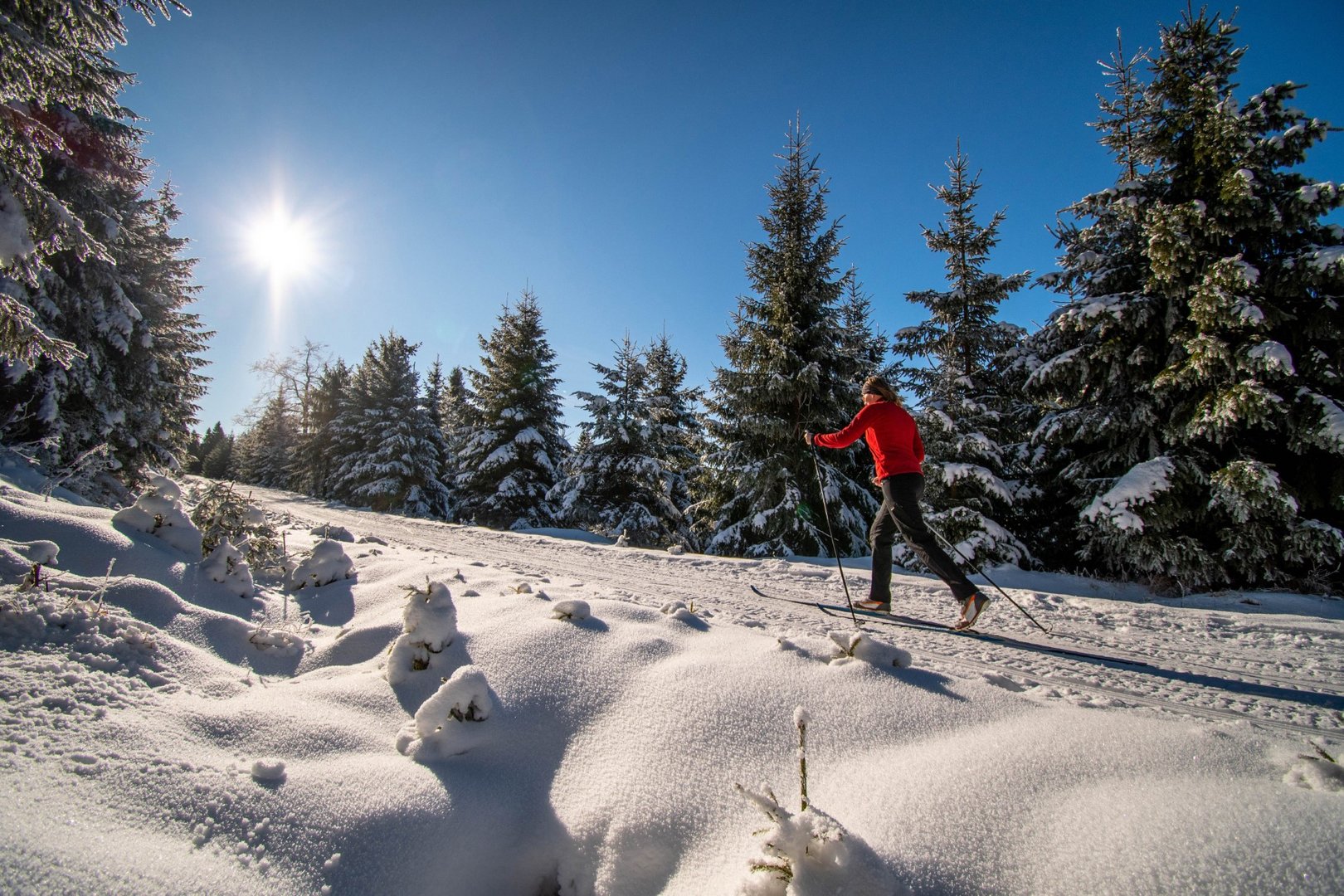
Cross-country skiing in the Harz Mountains
Look forward to varied cross-country ski trails in the Oberharz
Enjoy a varied network of cross-country trails with different levels of difficulty when cross-country skiing in the Oberharz. Around Altenau, Clausthal-Zellerfeld, Sankt Andreasberg, Schulenberg, Torfhaus and Wildemann many cross-country ski trails are groomed in winter.
Both the classic cross-country skiing style and the skating skiing style can be practised perfectly here. Glide through the snow-covered landscape on your cross-country skis, breathe in the clear, fresh air and do something good for your body.
Tips for cross-country skiers
A large part of the cross-country skiing area is located in the nature reserves of national park and Harz Nature Park. The aim here is to protect flora and fauna from damage. Especially the raised bogs in the Brocken area are under the strictest protection.
It is not permitted to leave the paths and cross-country ski trails in these areas. Therefore, please stay on the machine-groomed trails and hiking paths. hiking trails.
Remember that your sports venue is the great outdoors. Take all waste home with you so that the sensitive ecosystems are not damaged.
Mühlenbergloipe circuit
Length: 3.6 km Altitude: 500 - 580 m Total gradient: 50 m Difficulty level: easy Start: Tischlertal car park on the L 504
Stieglitzecke-Torfhaus connecting trail
Length: 8 km Altitude: 700 - 800 m Total ascent: 1000 m Level of difficulty: medium to difficult Start: on the B 242 Stieglitzecke, Magdeburger Hütte car park
Ackerloipe-Hanskühnenburg-Reitstieg circuit
Length: 16 km Altitude: 700 - 800 m Total ascent: 1500 m Difficulty level: easy to medium Start: on the B 242 Stieglitzecke, Magdeburger Hütte car park
Artificial mountain trail
Length: 7.1 km Altitude: 550 - 600 m Total ascent: 30 m Difficulty level: medium Start: Tischlertal car park on the L 504
Altenau-Torfhaus connecting trail
Total length: 10 km Altitude: 550 - 800 m Total ascent: 1500 m Difficulty level: difficult Start: Tischlertal car park on the L 504
Circuit Tischlertalloipe
Length: 10.6 km Altitude: 500 - 600 m Total ascent: 200 m Difficulty level: difficult Start: Tischlertal car park on the L 504
Finish trail Alte Bahntrasse to Clausthal-Zellerfeld
Length: 6.1 km Altitude: 500 - 600 m Total gradient: steady, gentle ascent Difficulty level: easy Start: in Altenau at the old railway station or in Clausthal-Zellerfeld at the Waldsee holiday park
Goat mountain trail
Length: 5.11 km Altitude: 545 - 602 m Total ascent: 107 m Difficulty level: medium Start: Turnhalle am Brink car park
Trail Kurpark Buntenbock
Length: 2.03 km Elevation: 549 -574 m Total ascent: 39 m Difficulty: easy Start: Alte Fuhrherrenstraße/ Kurpark Illuminated route: Mon - Fri illuminated from 16.30 - 20.00 Sponsor:GLC Glücksburg Consulting AG
Connecting trail Buntenbock Clausthal
Length: 3.3 km Altitude: 548 - 601 m Difficulty level: easy Start: Buntenbock spa gardens
Sun trail
Length: 4.11 km Altitude: 561 - 608 m Total gradient: 77 m Difficulty level: easy Start: Spiegelthaler Str. opposite the former ski lift
Zellerfelder Tal" skating and roller skiing trail
Length: 5.51 km Altitude: 491 - 569 m Total ascent: 115 m Difficulty level: medium Start: Ringerhalde or "Zellerfelder Tal"
Trail to Buntenbock
Length: 3.3 km Altitude: 548 - 601 m Total ascent: 44 m Difficulty level: easy Start: Schützenplatz Clausthal
Old railway line trail
Length: 6.09 km Altitude: 473 - 584 m Total ascent: 111 m Difficulty level: easy Start: Hausherzberger Teich holiday park
Ringerhalde cross-country ski trail
Length: 2.5 km Altitude: 500 - 600 m Total gradient: 15 m Difficulty level: medium Start: At the Ringerhalde sports ground
Spiegelthal cross-country ski trail
Length: 8.18 km Altitude: 510 - 608 m Total gradient: 182 m Difficulty level: medium Start: Spiegelthaler Straße opposite the former ski lift
Hanskühnenburg
Length: 7 km Altitude: 750 - 830 m Total ascent: 300 - 400 m Difficulty level: medium Start: on the B 242 Stieglitzecke, Magdeburger Hütte car park
Auerhahnweg-Oderbrück-Kaiserweg-Torfhaus
Length: 12 km Altitude: 725 - 850 m Total ascent: 1500 m Difficulty level: easy to medium Start: opposite the "Am Rinderkopf" ski lift car park
Torfhaus cross-country skiing area
Length: 40 km Altitude: 830 - 880 m Total ascent: 100 m Difficulty level: easy to medium Start: from the large car park 150 m to the left, Goetheweg entrance
Goetheweg-Eckersprung-Dreieckiger Pfahl-Kaiserweg-Torfhaus circular route
Length: 10 km Altitude: 800 - 850 m Total ascent: 300 m Difficulty level: easy to medium Start: from the large car park 150 m to the left Access Goethewe
Circuit around the large Torfhaus moor
Length: 6 km Altitude: 800 - 850 m Total gradient: 50 m Level of difficulty: easy to medium Start: at the large car park to the right of the toboggan lift
Hasenberg trail
Length: 10 km Altitude: 570 m Total ascent: 200 m Difficulty level: moderate Start: at the entrance to the Gitteld Valley via the ski hiking trail to the Gallenberg
Adlersberg trail
Length: 4 km Altitude: 611 m Total gradient: 50 m Difficulty level: easy Start: opposite the former petrol station at the northern entrance to the village
Gallenberg trail
Length: 1.1 km Elevation: 461 m Total gradient: 28 m Difficulty level: medium Start: Seesener Straße at the turning chamber
Beerberg cross-country ski trail
Length: 3 km Altitude: 600 - 630 m Total gradient: 30 m Difficulty level: easy Start: trail gate on Clausthaler Straße
Circuit Libra
Length: 6 km Altitude: 630 - 710 m Total gradient: 70 m Difficulty: easy Start: Dreibrode car park
Novasol holiday park - Jordanshöhe-Dreibrode cross-country ski trail
Length: 3 km Altitude: 660 - 700 m Total gradient: 90 m Difficulty level: medium to difficult Start: trail gate on Clausthaler Straße, Dreibrode car park
Oderberg cross-country ski trail
Length: 6 km Altitude: 560- 680 m Total gradient: 180 m Difficulty level: difficult Start: trail gate on Clausthaler Straße
Sonnenberg circuit
Length: 12 km Altitude: 670 - 810 m Total ascent: 240 m Difficulty level: medium to difficult Start: Dreibrode car park, Sonnenberg
Snow White Cliffs circuit
Length: 5 km Altitude: 770 - 820 m Total ascent: 80 m Difficulty level: easy Start: Sonnenberg
Sonnenberg - Oderteich - Oderbrück cross-country ski trail
Length: 5 km Altitude: 780- 790 m Total ascent: 170 m Difficulty level: medium to difficult Start: Sonnenberg or Oderbrück