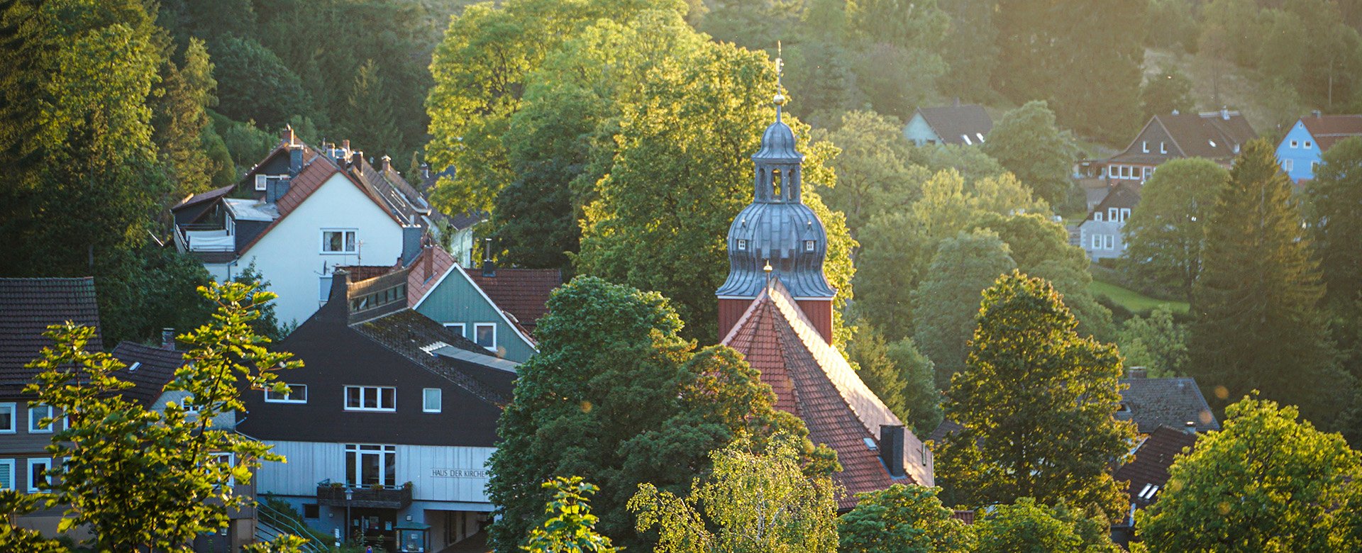
The Altenau Tour through the Harz Mountains
Circumnavigate the beautiful mountain town of Altenau on the "Altenauer Runde" hiking trail.
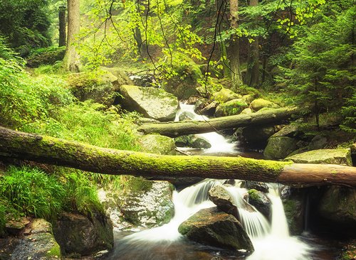
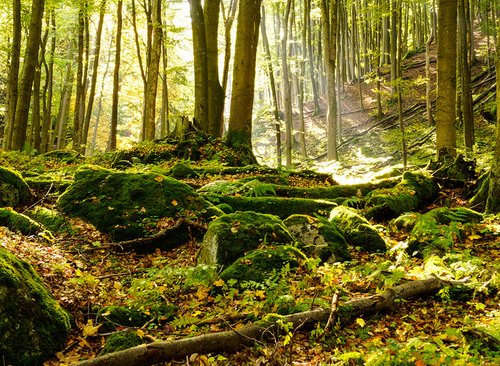
On the "Altenauer Runde" hike, you can expect a marvellous view of the valley and the mountains. Relax in the beautiful and varied landscape and enjoy the relaxing silence. On this route through the Upper Harz, you will hike along streams and discover the world of ponds and ditches. They are precious parts of the UNESCO World Heritage Site "Upper Harz Water Management" in the representation of nature, culture and history of the region.
There are numerous benches along the route that invite you to take a breather or simply enjoy the peace and fresh air. Not only can you marvel at the charming landscape while hiking, but you can also experience the cultural diversity and history up close. You don't need a hiking map on the Altenauer Runde. You can start or stop anywhere on your route, all paths into the valley lead you back to the village of Altenau.
Sections of the "Altenauer Runde"
The Altenauer Runde is divided into three sections. Together they have a total length of 13 kilometres. The route is moderately difficult and has mostly moderate inclines and only briefly steep climbs. There is a total difference in altitude of 265 metres.
Section 1
- from the ironworks to the Tischlertal valley
- Length 3.9 kilometres
- Lowest point 414.9 metres
- Highest point 504.0 metres
- Difference in altitude 89.0 metres
Section 2
- from the Tischlertal to the Rose
- Length 4.7 kilometres
- Lowest point 499.4 metres
- Highest point 580.6 metres
- Difference in altitude 81.2 metres
Section 3
- from the Rose to the ironworks
- Length 4.4 kilometres
- Lowest point 424.4 metres
- Highest point 519.7 metres
- Difference in altitude 85.3 metres