Harz Border Trail "Am Grünen Band"
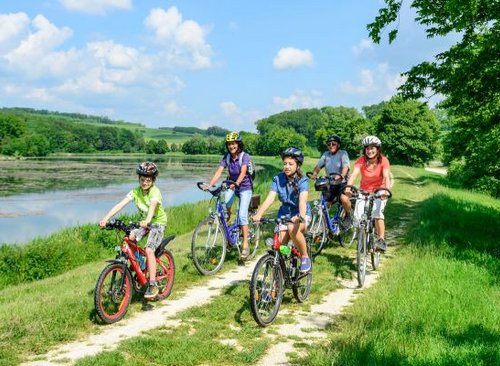
Hiking along the Harz border trail, along the former inner-German border in the Harz Mountains
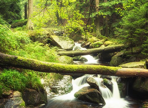
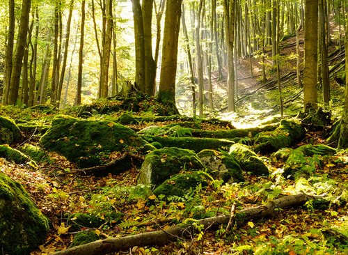
The term "Green Belt" stands for the 1,393-kilometre-long former inner-German border. It once ran from the Baltic Sea to Bavaria and was so strictly guarded by the GDR that it was also known as the "death strip". Because people were not allowed to stay in the area, it became a place of refuge and tranquillity for more than 1,200 rare and endangered plant and animal species. In order to protect this refuge, BUND, a non-profit organisation, created an important nature conservation project here after the border was opened.
The "Green Belt" thus became a symbol of powerful nature and a "lifeline". In the Harz Mountains, you can hike a section from Fallstein near Bad Harzburg to Tettenborn. Enjoy this extraordinary section of the region on the Harz Border Trail "Am Grünen Band". Learn interesting facts about the culture and history of the Harz. Encounter historical border markers, numerous signs about the past, impressive art and significant relics from the time when Germany was divided.
Route and places of interest on the Harz Border Trail "Am Grünen Band"
On the hiking route, you will pass the Ecker valley and the Eckertalsperre dam. After you have explored the valley, you climb the Brocken. After the descent, you make your way to the historic Dreiländerstein, the triangular pile. From there, you hike past the Wurmberg to the memorial stone commemorating the opening of the border between Braunlage and Elend. You pass Hohegeiß with its historic collection of border stones along the way until you arrive in Zorge. From Zorge, your hiking trail continues to the Cistercian Museum Walkenried Monastery. On your way to Walkenried Abbey, you will pass the Ring of Remembrance and the Dreiländerstein at Jögerfleck near Benneckenstein. The last section of your hiking stage runs via Bad Sachsa to Tettenborn, where you can pay a visit to the Borderland Museum.
The initiator of this route is Benno Schmidt, also known as Brocken-Benno. Brocken Benno is an experienced mountain guide who hikes up the Brocken almost every day. He has now been to the Brocken over 6,000 times.
Important information about the Harz Border Trail
Length: approx. 75 km Height difference: approx. 880 m Difficulty level: medium Best time to hike: April to November, in good weather conditions also all year round Clothing: weatherproof clothing and hiking boots
Tips: You can hike the route in both directions. However, the route can also be divided into different stages. These vary in difficulty depending on the start and finish.


Three stages from Ilsenburg
Ilsenburg - Brocken - Braunlage (26 km) Braunlage - Hohegeiß (16 km) Hohegeiß - Walkenried (16 km)
Three stages from Bad Harzburg
Bad Harzburg - Brocken - Braunlage (19 km) Braunlage - Zorge (25 km) Zorge - Walkenried - Bad Sachsa (23 km)
Four stages from Ilsenburg
Ilsenburg - Brocken (13 km) Brocken - Braunlage (13 km) Braunlage - Hohegeiß (16 km) Hohegeiß - Walkenried (16 km)