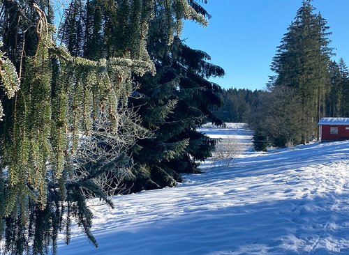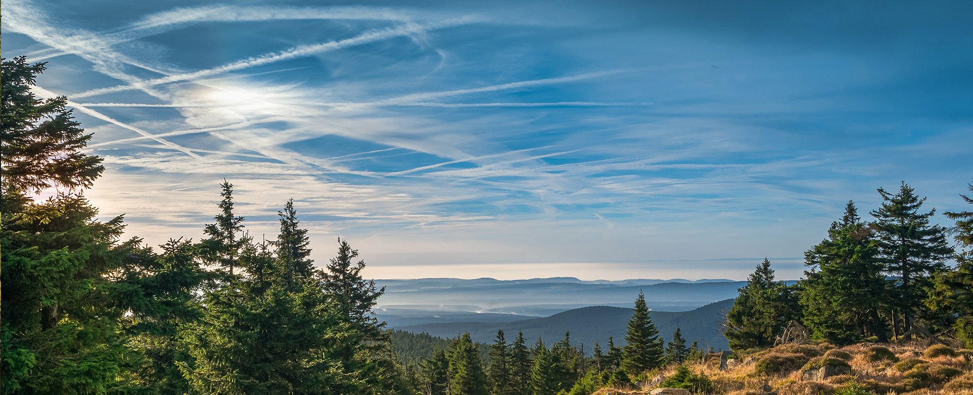
Selketal-Stieg in the Harz Mountains
The Selketal-Stieg hiking trail takes you around 75 kilometres through the eastern Harz Mountains and the Selketal valley.
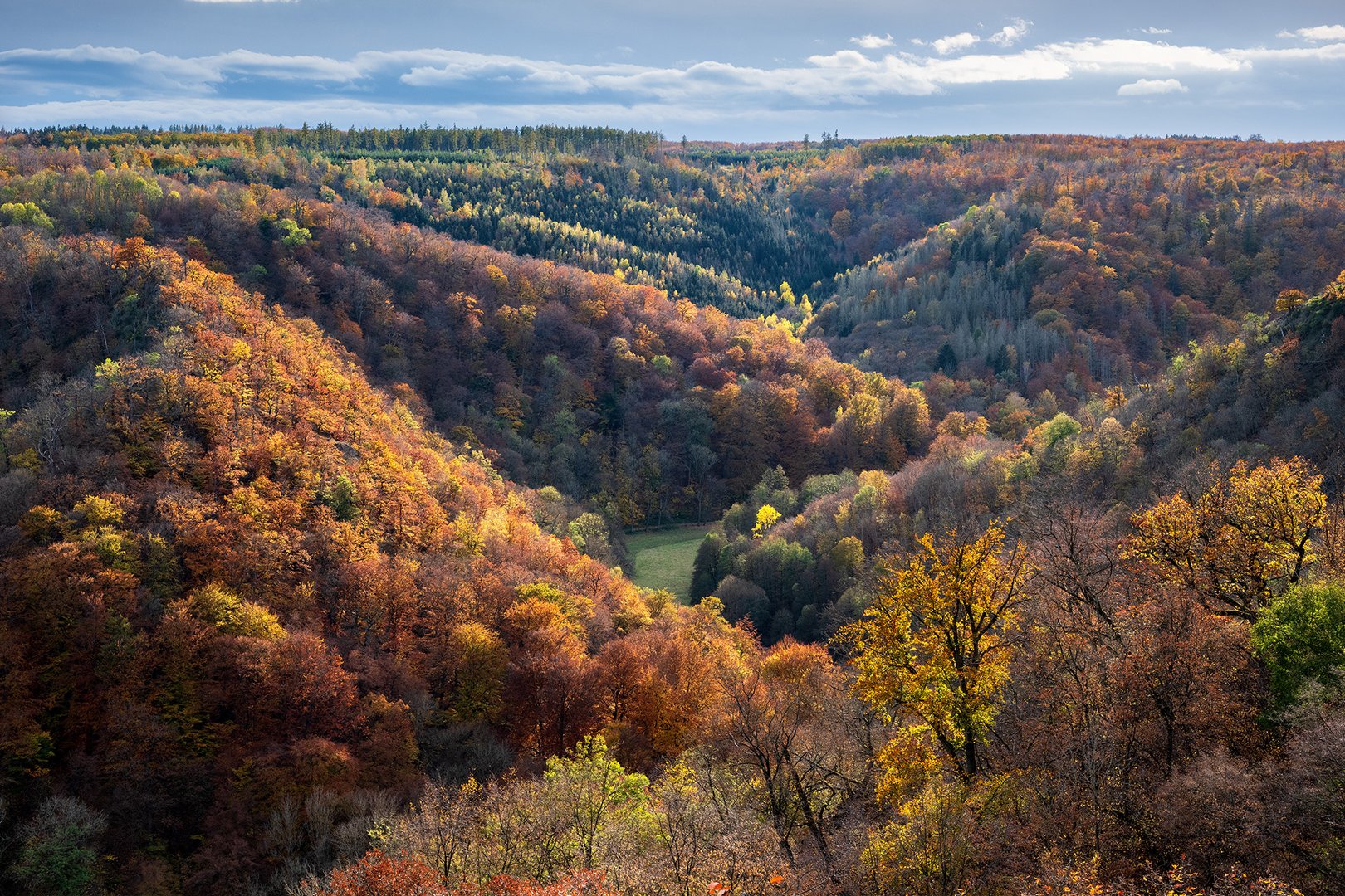
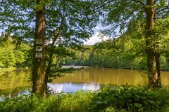
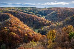
On the Harz hiking trail Selketal-Stieg, you hike from Stiege via Miesdorf to the UNESCO World Heritage town of Quedlinburg. You will pass dreamy forests, peaceful meadow valleys and imposing mountain slopes. The landscape is a feast for the senses. A large section also takes you along the most beautiful route of the Harz narrow-gauge railway, the Selke Valley Railway.
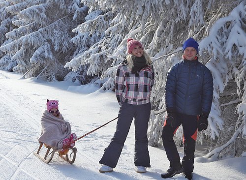
Enjoy the wonderful natural surroundings to the full while hiking in the eastern Harz Mountains. Choose whether you want to hike the Selketal-Stieg in one tour or in four easy stages. Either way, you have the option of taking the Selketalbahn railway back in comfort. This will take you back to your starting point in a relaxed manner.
Hiking tips for the Selketal-Stieg
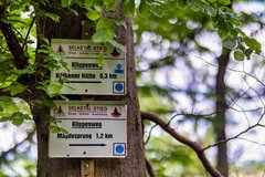
- Route: From Stiege via Güntersberge, Straßberg, Silberhütte, Alexisbad, Mägdesprung, Meisdorf, Gernrode, Bad Suderode to Quedlinburg
- Length: 75.5 km
- Best time to hike: April - October (depending on the weather, hikes are possible all year round)
- Parking: at Stiege train station (free of charge) and at the Quedlinburg castle car park
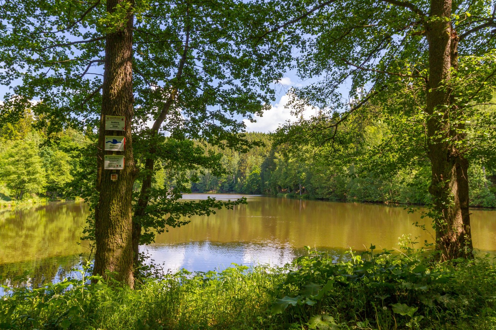
- Tip: you can take the Selketalbahn railway back to the starting point
- Note: You can hike the Selketal-Stieg in both directions or just one of the four stages listed below.


Stage 1: Stiege - Alexisbad
Length: 24 km Duration: approx. 6 hours Difference in altitude: approx. 160 m
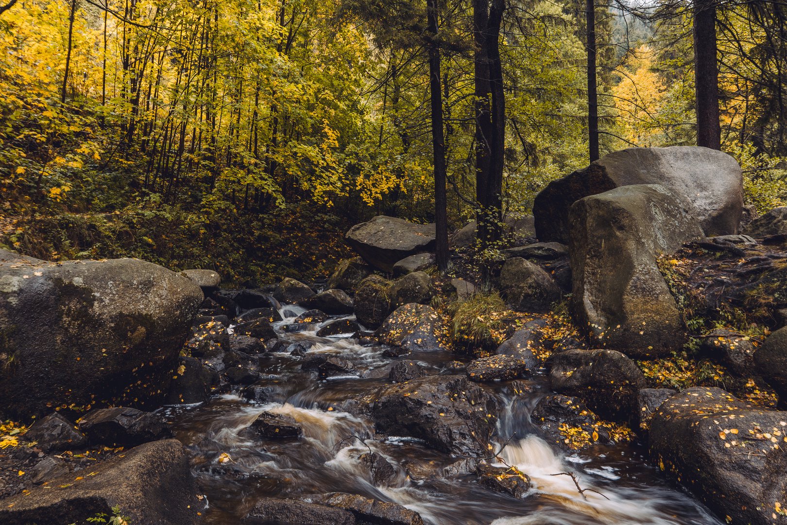
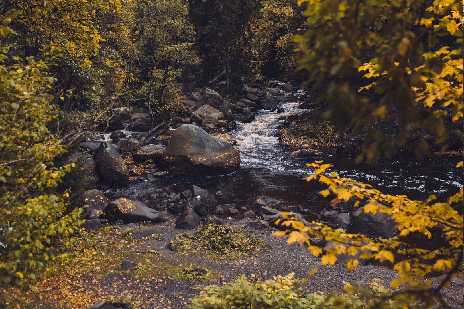
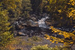
You start your hike on the Selke Valley Trail at Stieger railway station and walk upstream along the Hassel until you reach the River Selke. Here you cross the highest point of the route at 500 metres. Your route takes you past the Selkenfelde church and the former sanatorium, the Albrechthaus. After reaching the Selke railway stop at Friedrichshöhe, the trail leads you parallel to the tracks through the "Oberes Selketal" nature reserve to the mill pond in Güntersberg, where you can admire the ruins of Güntersburg Castle on the Kohlberg. From there, follow the course of the Selke to Straßberg. You can make a stopover in Straßberg and visit the visitor mine. You will then pass the Rinkemühle mill and the Pochwerk, one of the most important silver mines in the Lower Harz. On the last part of the route, you hike past the "Unterharzer Waldhof" forest information centre to Silberhütte. After a final ascent of 400 metres, you reach Alexisbad.
Stage 2: Alexisbad - Meisdorf
Length: 22.5 km Duration: approx. 6 hours Height difference: approx. 130 m
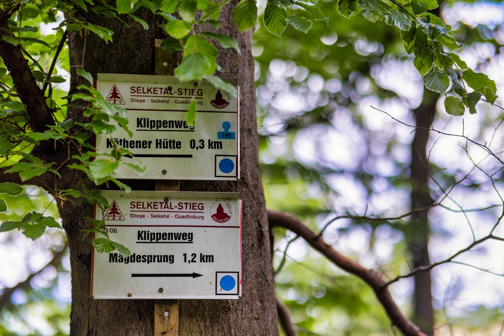
You start in Alexisbad and walk parallel to the Selke railway to the Habichtstein. You then take the cliff path into the beautiful parkland of the "Alexis-Bad". Here you walk past the engagement urn, the birch house and the cast iron artwork "Eisenhütte unterm Mägdesprung". After leaving the cliff path, hike to the Luisentempel. Here you first follow the Pionierweg and after a short time the Hohlweg. In the hollow path, you will gain an insight into history and discover medieval tracks in the rock. You then return to the pioneer path and cross a rock tunnel. On the other side of the tunnel, the Köthener Hütte awaits you, located on the rock of the Schalkenburg. Now follow the cliff path to Mägdesprung. In Mägdesprung, you can return to culture and visit the Carlswerk industrial museum. Your hike continues downstream along the banks of the Selke until you reach the "Lampe", the narrowest point in the Selke valley at 15 metres. You then hike through former Mägdesprung hut villages until you reach the Selkemühle mill. Here you can take a detour to the ruins of Anhalt Castle, which was built by Albrecht the Bear. Your route then takes you through the nature reserve with its stunning scenery until you reach Falkenstein Castle, the best-preserved medieval castle in the Harz region. It was here that Eike von Repgow wrote the oldest law book of the German Middle Ages, the Sachsenspiegel, from 1221 to 1235. The last section takes you back along the Selke river to your stage destination of Meisdorf. There you can marvel at a baroque castle with a park, which today houses a hotel.
Stage 3: Meisdorf - Bad Suderode
Length: 17 km Duration: approx. 3.5 hours Height difference: approx. 330 m
From Meisdorf, you start your hike in a westerly direction towards Ballenstedt. Continue through the Petersberger Trift past the golf course of the Parkhotel Schloss Meisdorf. From there you walk past the Eckartsberg and can then enjoy a great view of a spoil tip from the historic coal mine. After a short time, you will reach the foothills of the Teufelsmauer, the sandstone cliffs of the Gegensteine. You then reach the picturesque town of Ballenstedt until you enter the Fürstenweg, which you follow to Gernrode. After leaving Gernrode, you pass Roseburg Castle, the Osterteich pond and cross the Selke Valley Railway. Via the Schwesternweg and Herrenbergsweg, you can take a short detour to the collegiate church of St Cyriacus, which is one of the oldest churches in northern Europe at 1000 years old. Finally, you will reach Bad Suderode, the final destination of your hike along the Panorama Trail.
Stage 4: Bad Suderode - Quedlinburg
Length: 9 km Duration: approx. 2.5 hours Height difference: approx. 80 m
You start this stage of the Selketal climb in Bad Suderode. You walk past the Bückemühle mill and follow the path parallel to the Quarmbach stream. The hiking trail takes you past the Dreibogenbrücke bridge to Quarmbeck. From here you have a great view of the Teufelsmauer (Devil's Wall), on whose sandstone cliffs the Quedlinburg collegiate church rises. You then cross the Bode over the Schafbrücke bridge and walk the last stretch through the English-style Brühlpark. You follow the hiking trail until you arrive at the destination of your hike in the UNESCO World Heritage town of Quedlinburg.